Are These Photos From Yesterday Showing the Making of a Tornado In Maine?
Check out these photos of Monday's sky from Maine that the U.S. National Weather Service in Caribou shared on their Facebook page.
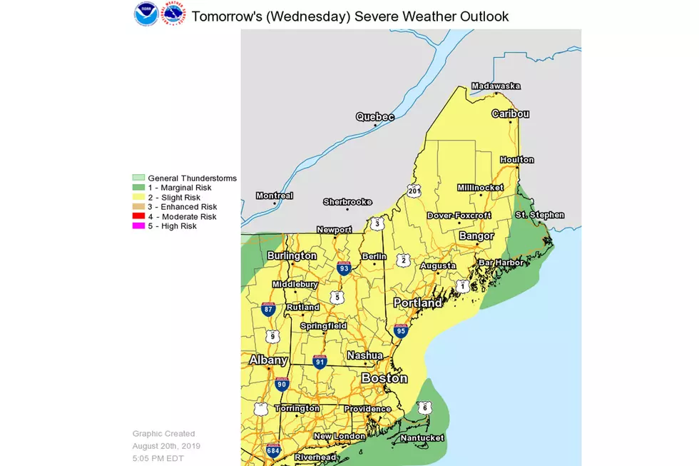
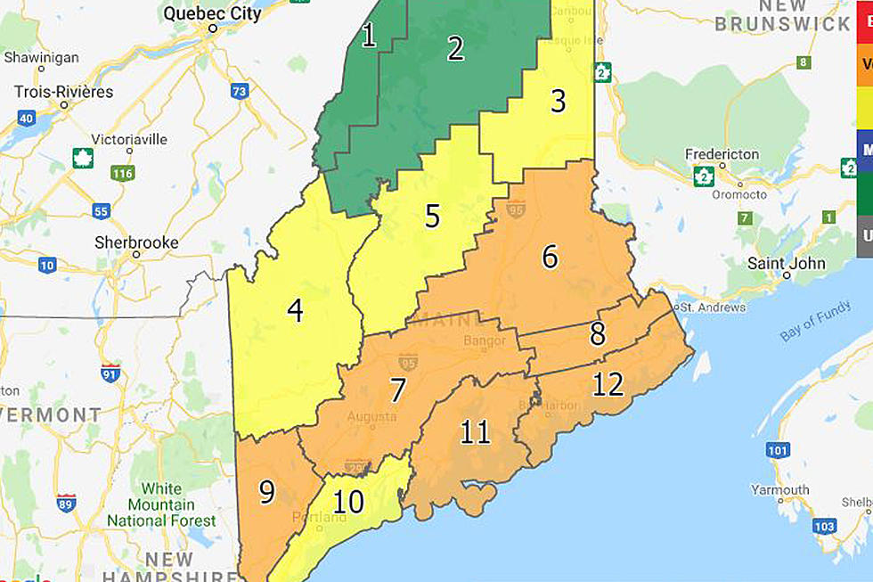
We had plenty of warnings across Maine yesterday of severe thunderstorms, which included the threat of damaging winds and possible hail. Here's a warning sent out yesterday by the U.S. National Weather Service in Caribou on Facebook for a specific region in Eastern Maine:
And right near there is where these incredible cloud formations where photographed, shared by a resident out of Carroll Plantation, near Mattawamkeag and Lincoln.
It reads:
A spotter for NWS Caribou took these pictures as the storm passed to her northwest near Carroll Plantation, Maine. No wind or hail occurred near the residence but it was impressive nonetheless. Thank you for sharing Rita!!!
The looks of the first photos seem to showcase a shelf cloud, a cloud lower at the cloud base that spreads across the width of the skyline. Further in the pictures some clouds seem to be funneling from the cloud, which could simply be scud clouds that are rising up to the cloud or could have been developing tornadoes.
Like the post reads, no wind or hail occurred with the storm seen in these pictures, so it's unknown whether or not these pictures were capturing a potential tornado.
More From WBZN Old Town Maine


![Frankie MacDonald’s Winter Forecast [VIDEO]](http://townsquare.media/site/495/files/2019/05/FRANKIE3.jpg?w=980&q=75)

![The Correct Way To Clean Snow Off Your Car [VIDEO]](http://townsquare.media/site/495/files/2019/02/snow-clean.jpg?w=980&q=75)
