These Maine Towns’ ‘Heat Maps’ Are So Useful to Battle Browntail Activity
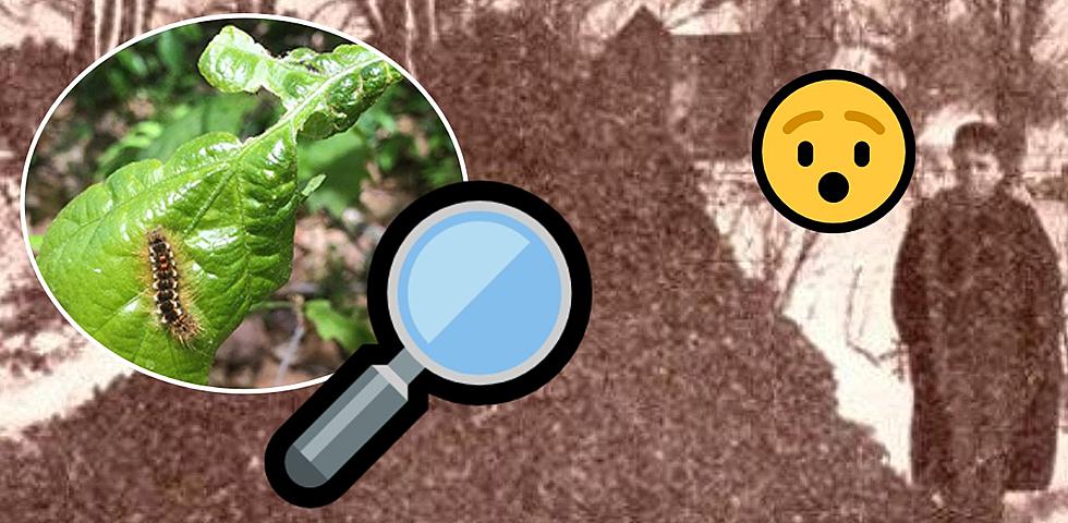
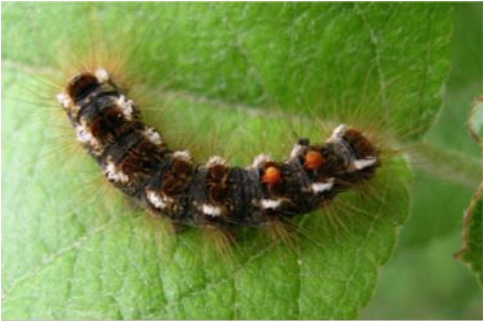
Following a dreadful year of Browntail Caterpillar activity, a few towns in Maine are stepping up efforts to get a handle on the Browntail Moth Caterpillar problem.
While we've had resources from the state level when it comes to dealing with the Browntail Moth Caterpillar's presence, as seen on the State of Maine website, a few towns are creating their own tools to take on this irritable critter and making heat maps to show where activity has been been in their towns.
The State of Maine's Browntail Moth Dashboard
The Maine Department of Agriculture, Conservation and Forestry's Maine Forest Service has created a dashboard for Mainers to use to see what is being seen by aerial surveys and citizen information to see where the infestations are worse.
You can narrow down the map by selecting your town to see what the aerial surveys have shown and also check out what winter web surveys have shown. This information is from 2021 but could give you a clear idea of where the bad spots are near where you live.
The Forestry Service does have a survey you can fill out to help them out with knowing what you've seen of Browntail Moth activity. You can check out that form here.
Bangor's Browntail Moth Response
The City of Bangor has a page on its website dedicated to educating and informing the public about the Browntail Moth. They have a heat map that shows where the insect has been spotted within the city's boundaries.
The map shows a large amount of activity in the residential areas all throughout Bangor, with a large amount of activity along easternmost Hammond Street in the Fairmount area and on Stillwater Avenue near the city border to Veazie.
Orono's Online Monitoring System
The Town of Orono has launched a website dedicated to monitoring and managing the invasive Browntail Moth that includes history and information about the insect as well as a way for citizens to report sightings and activity within the town boundaries.
Their heat map shows a lot of activity along the more populated sections of Orono, along Kelley Road, and near the Downtown businesses on Mill Street. In fact, a large number of sightings have been captured on land where the Stillwater River and Penobscot River meet. Locations Other locations include the UMO campus, intersecting area of Stillwater and I95 as well as in Western Orono near Pushaw Lake.
It is important to take into account that these locations are where insects are spotted by people but, humans may not be around other areas where the insect may be hatching and residing.
Research from the University of Maine
There could be hope on the horizon. Not only is there a campaign to bring awareness to the Browntail Moth problem coming from the state with the #KnockoutBrowntail mitigation campaign this month and movement from Maine lawmakers to tackle the Browntail Moth problem at a hyper-local level but, the University of Maine is working on ways to mitigate the invasive species.
Check out what they were doing last summer when parts of Maine were being stormed by these furry and poisonous critters.
University of Maine Researchers Doing Browntail Moth Study
17 Wild Animals You Could See in Bangor
13 Animals You Can Actually Own in Maine That Might Surprise You
20 Summer Pictures from Hermon's Ecotat Gardens and Arboretum
10 Actors Who Adopted Animals From Movie And Sets
More From WBZN Old Town Maine